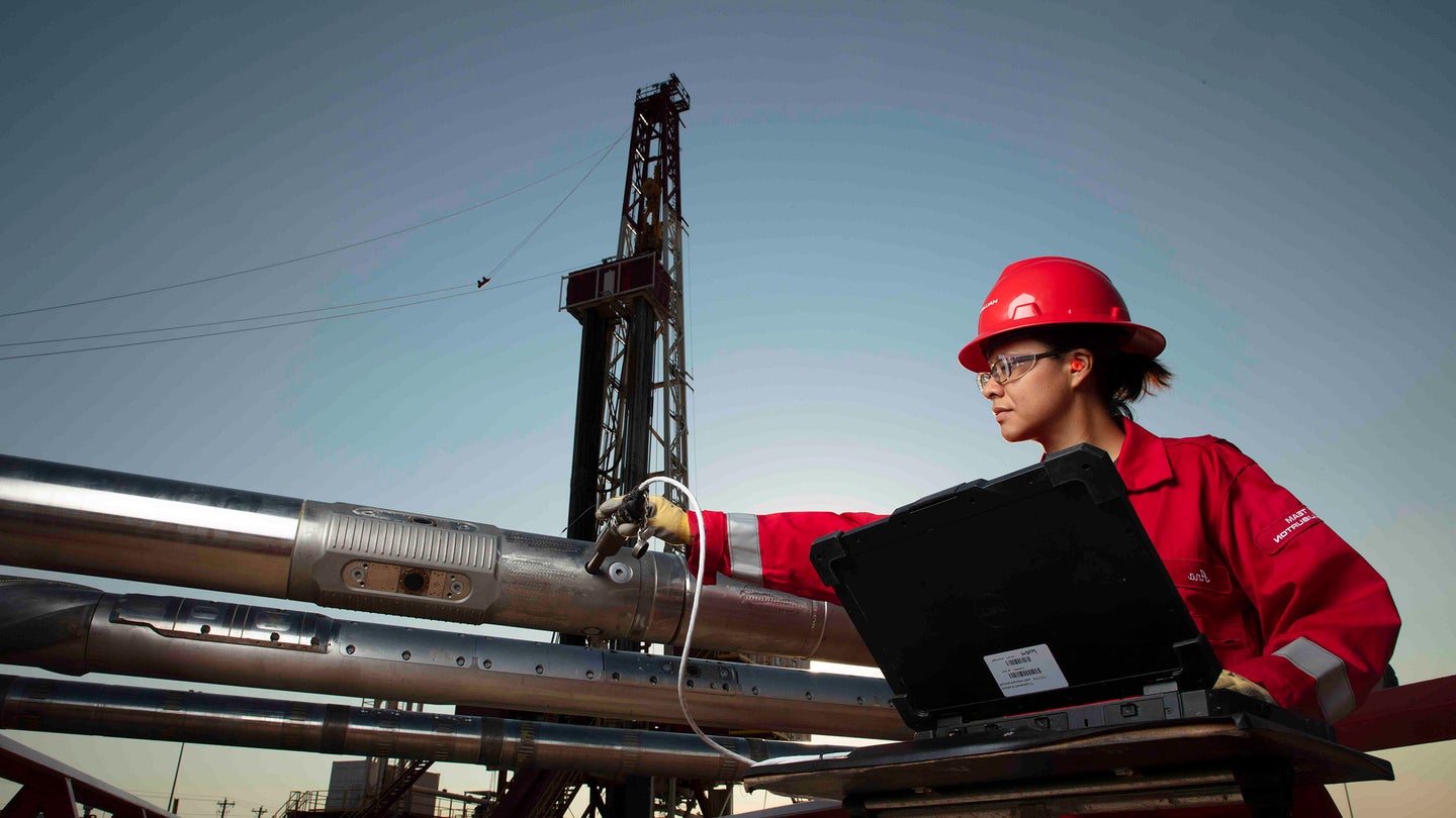
Real-time reservoir insight and fluid samples that support confident decisions while drilling
talk to an expertOperators need clear reservoir insight while the bit remains on bottom. The GeoTap® Flow formation testing, fluid identification, and sampling service delivers that clarity through real-time formation pressure, mobility, and fluid property measurements. With the ability to recover representative formation samples within hours, teams can interpret results faster and reduce uncertainty during critical drilling decisions. These capabilities help operators in regions such as Norway, Asia, Brazil, and Saudi Arabia overcome tight margins, extended-reach drilling challenges, and complex reservoir structures.
During operations, formation pressure measurements reveal key behaviors such as overbalance, supercharge effects, pressure dissipation, and filtrate invasion. With this level of detail, drilling and subsurface teams can adjust mud weights and align well placement decisions with actual reservoir response. Fluid contacts and mobility become visible early in the well plan, which helps optimize each section and maintain safe operating conditions. These insights support progress in extended-reach and exploration wells where pressure behavior often drives the next move.
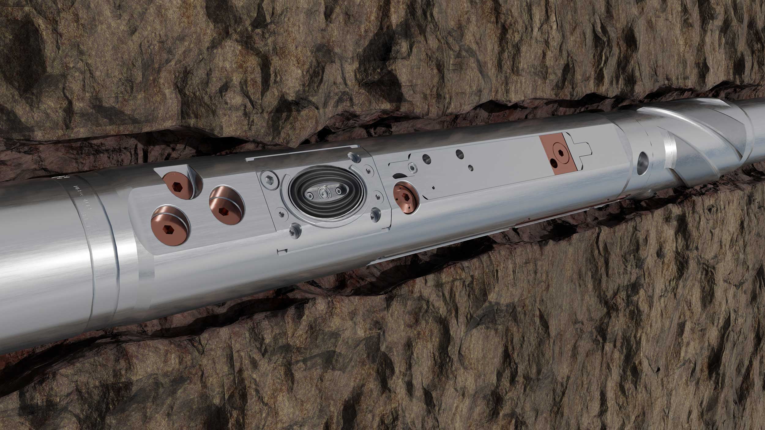
Representative samples help support accurate PVT models and facility planning with fewer assumptions. The oval probe design increases flow area and creates less sand face disturbance, so samples reach low contamination levels within one to four hours. High-resolution density measurement with 0.01 g/cm³ accuracy strengthens contamination assessment and fluid identification. Optional kits support reliable sample capture in harsh H2S or CO2 environments, and each run provides sample volumes up to 15 L for comprehensive analysis.
Operators often face evaluation delays in high-angle wells, wells with lost circulation materials, or H₂S conditions. Pump-out capability helps maintain pressure pathways, cycle valves, and support sampling operations even in these conditions. Teams gain dependable fluid identification in complex trajectories, which supports efficient well path choices and reduces the chance of stuck events. These efficiencies help limit flat time and remove the need for a pilot hole in many wells.
Teams throughout the reservoir lifecycle use real-time pressure and mobility data to understand connectivity, compartmentalization, and reservoir behavior. Subsurface engineers apply gradient data to refine reserve estimates and improve reservoir models. Drilling teams act on immediate formation response to guide wellbore placement and manage safety. These applications support exploration, appraisal, and development work by giving operators reliable insight at the exact moment they need it.
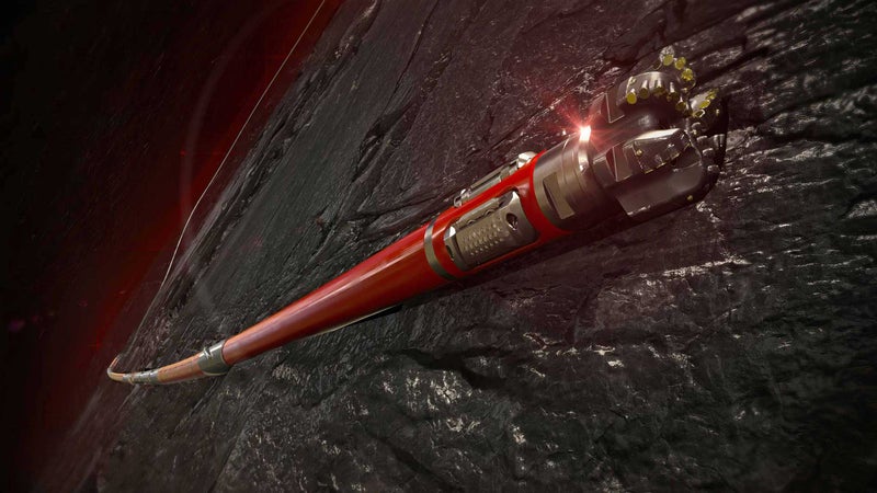
Directional drilling systems engineered to reduce well time and maximize reservoir contact from unconventional land to extended-reach deepwater drilling

Provides accurate reserves calculations with geological and petrophysical interpretations.
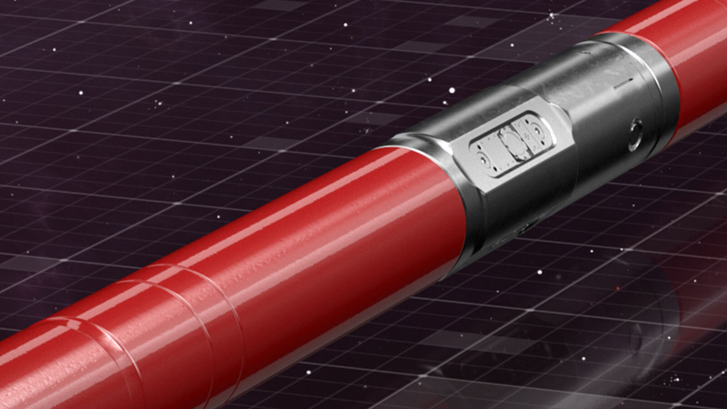
Integrates critical measurements for wellbore placement, drilling performance optimization, and borehole quality.
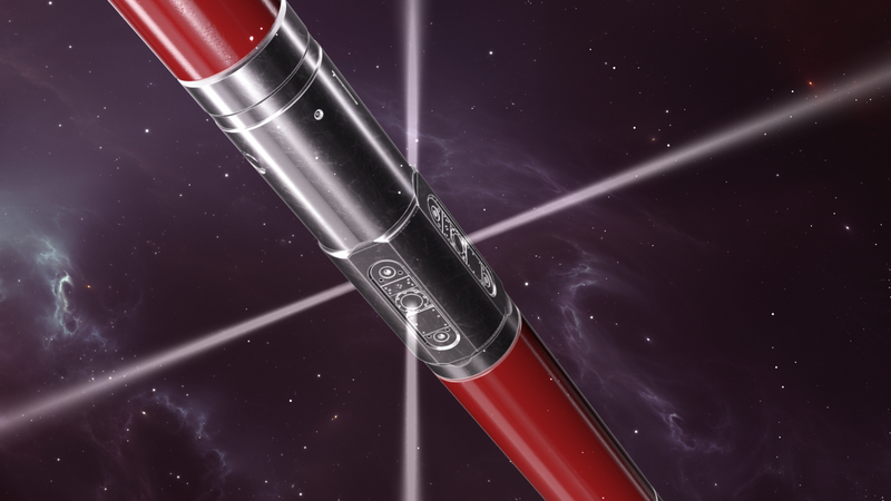
High-resolution ultrasonic imaging service shows fractures and geological features in all mud types.
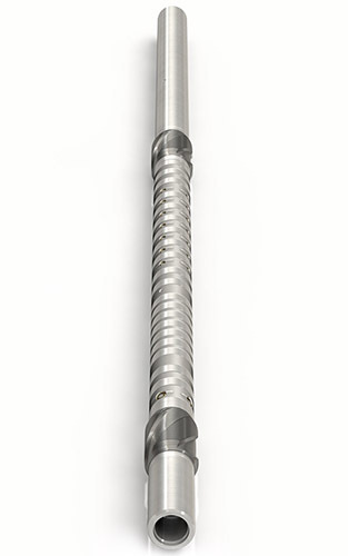
Reliable azimuthal sonic and ultrasonic data for optimized drilling, enhanced well placement, and comprehensive evaluation.