Gain continuous, high-quality data while drilling for improved subsurface insight
Talk to an expertLogging-while-drilling (LWD) solutions help operators maximize drilling efficiency and gain real-time formation evaluation. Our advanced technologies provide continuous downhole data to support rapid decisions that help reduce risk, minimize nonproductive time, and lower overall costs.
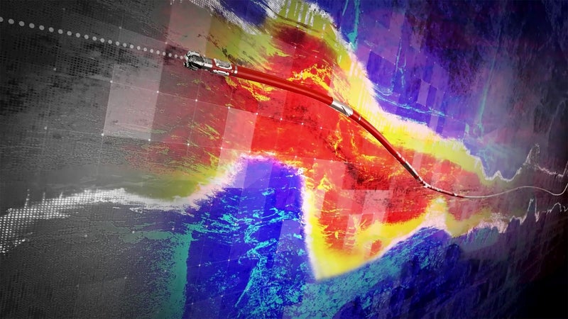
Unlike basic measurement services, LWD solutions provide comprehensive subsurface understanding throughout the drilling process. From high-resolution imaging to fluid sampling, the suite of measurements offers information to optimize reservoir contact. The portfolio offers capabilities to support directional drilling, high-pressure/high-temperature (HPHT) conditions, and remote operations.
Deviated and horizontal wells, HPHT environments, and extended-reach drilling require precision, flexibility, and a thorough knowledge of the fluids in place. Decision delays cause costly sidetracks. Operators use integrated formation evaluation measurements to reduce uncertainty, such as pay zone location. These solutions empower operators to adjust the well path proactively, maintain integrity, and achieve optimal reservoir placement in challenging conditions.
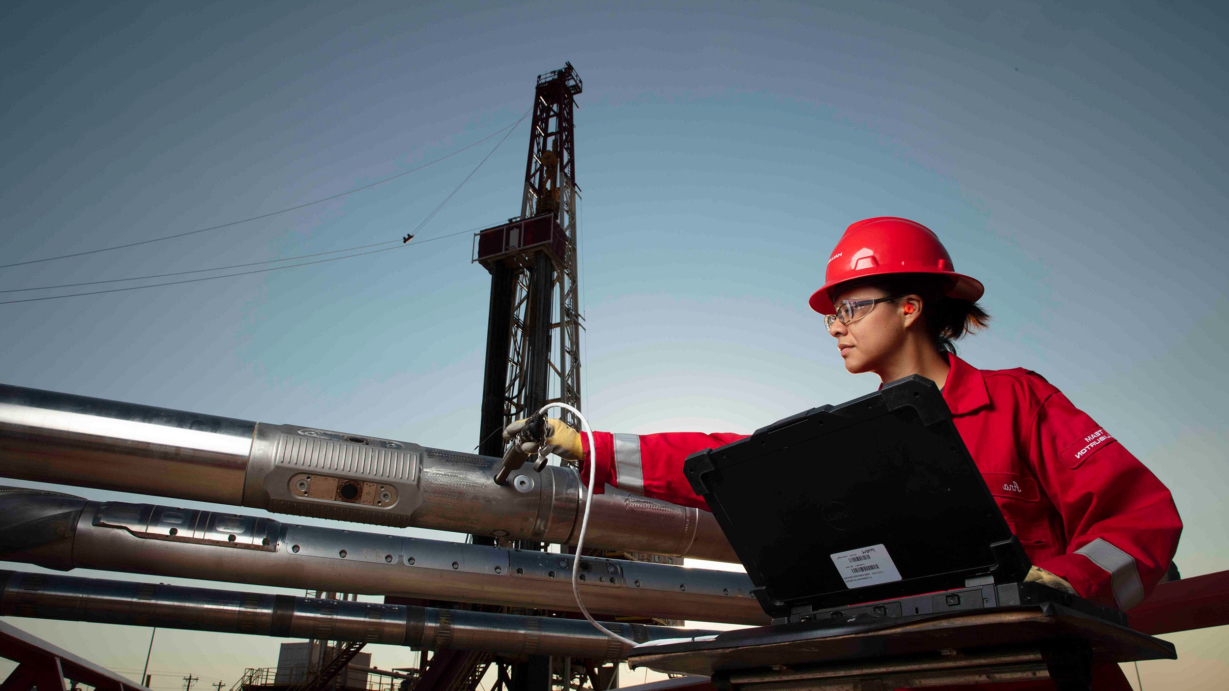
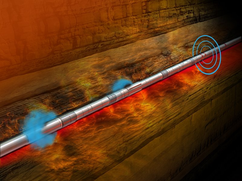
Successful integration with third-party wired drill pipe system enables data-driven drilling without downhole batteries
read case study
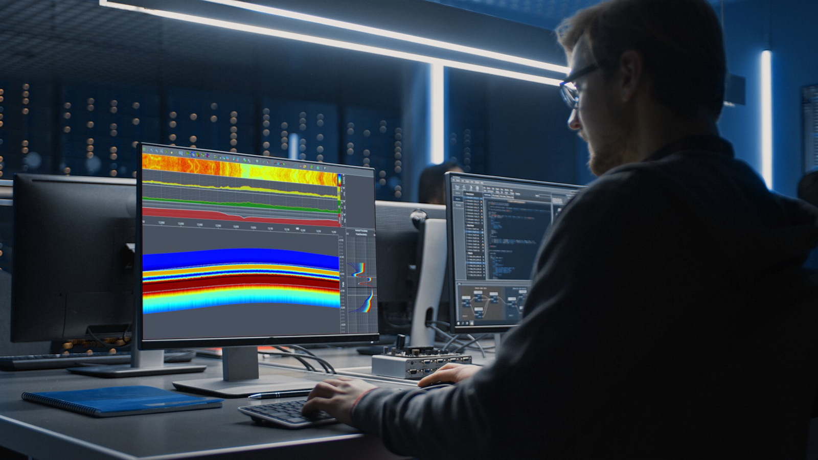
Digital technologies are helping operations reduce uncertainty by enabling real-time data analysis and advanced modeling
READ blog
Customized suite of logging-while-drilling and measuring-while-drilling (LWD/MWD) solutions accurately identify coring point
read case studyLWD solutions deliver tangible benefits throughout the well construction process. These technologies provide continuous real-time formation data to minimize nonproductive time (NPT) and eliminate the need for additional logging runs, which reduces costly interventions and accelerates operations.
Advanced downhole insight from high-performance tools support proactive adjustments that maintain wellbore stability, prevent sidetracks, and optimize reservoir contact for maximum production potential. These capabilities support better decisions in complex environments, reduce operational risk, and improve overall well economics while ensuring environmental compliance.
Operators can use real-time telemetry, advanced imaging, and wellbore characterization to optimize critical drilling parameters such as rate of penetration, weight on bit, and mud flow. Wired drill pipe and advanced systems such as high-speed mud-pulse and electromagnetic (EM) telemetry transmit data at high speed. This capability enables rapid decisions in complex wells and high-risk environments. These capabilities reduce uncertainty, improve drilling accuracy, and maintain wellbore stability, which helps operators avoid costly delays and improve overall well economics.
LOGIX™ drilling automation and remote operations
Real-time LWD measurements support automated geosteering workflows within advanced automation platforms such as the LOGIX™ automated geosteering service. These workflows evaluate formation changes in real time and adjust the well trajectory within defined parameters. This closed-loop approach helps improve consistency, reduce human variability, and support faster decisions.
Explore LOGIXRedefine geosteering with automation, real-time intelligence, and advanced modeling for optimized drilling precision
01:07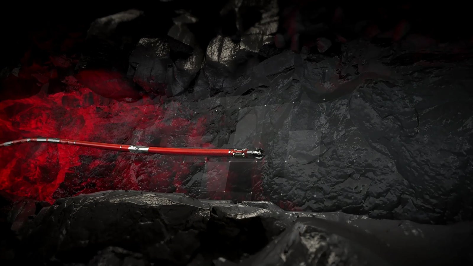
Our solutions integrate seamlessly with existing infrastructure to deliver consistent performance in any environment. Advanced downhole tools and real-time data give operators more control of complex wells, reduce nonproductive time, and improve reservoir contact for long-term success. The result is safer operations, lower costs, and improved production.
These solutions optimize wellbore placement and improve reservoir knowledge. They provide operators with the clarity and confidence needed to succeed in today’s energy landscape.
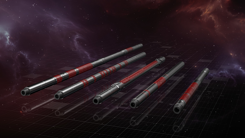
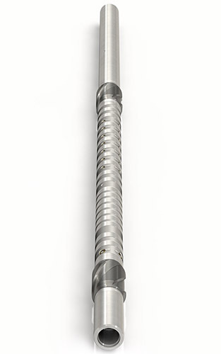
Halliburton offers a comprehensive portfolio of LWD tools engineered for complex well characterization and harsh conditions:
LOGIX™ automated geosteering redefines geosteering precision through automation, real-time intelligence, and advanced geological modeling to optimize well placement and maximize recovery.
Fully digital and web-enabled to monitor and control drilling and logging operations from anywhere

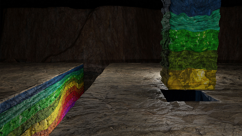
The industry’s first real-time, forward-looking 3D geological insights in horizontal wells before they are penetrated by the bit.
High-resolution ultrasonic imaging service shows fractures and geological features in all mud types.
High resolution logging-while-drilling borehole images.
The nuclear magnetic resonance measurements provided by the range of MRIL®-WD™ services enable early identification of critical petrophysical parameters.
Reliable azimuthal sonic and ultrasonic data for optimized drilling, enhanced well placement, and comprehensive evaluation.
Designed for extreme high-temperature and high-pressure environments.

Direct formation pressure measurements on-demand.