Search

Get better insights into reservoirs 

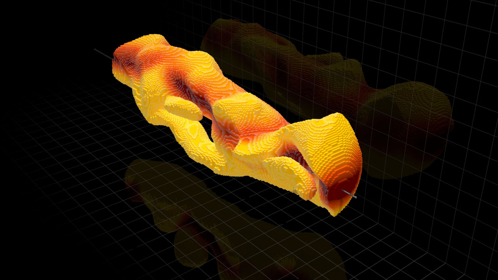
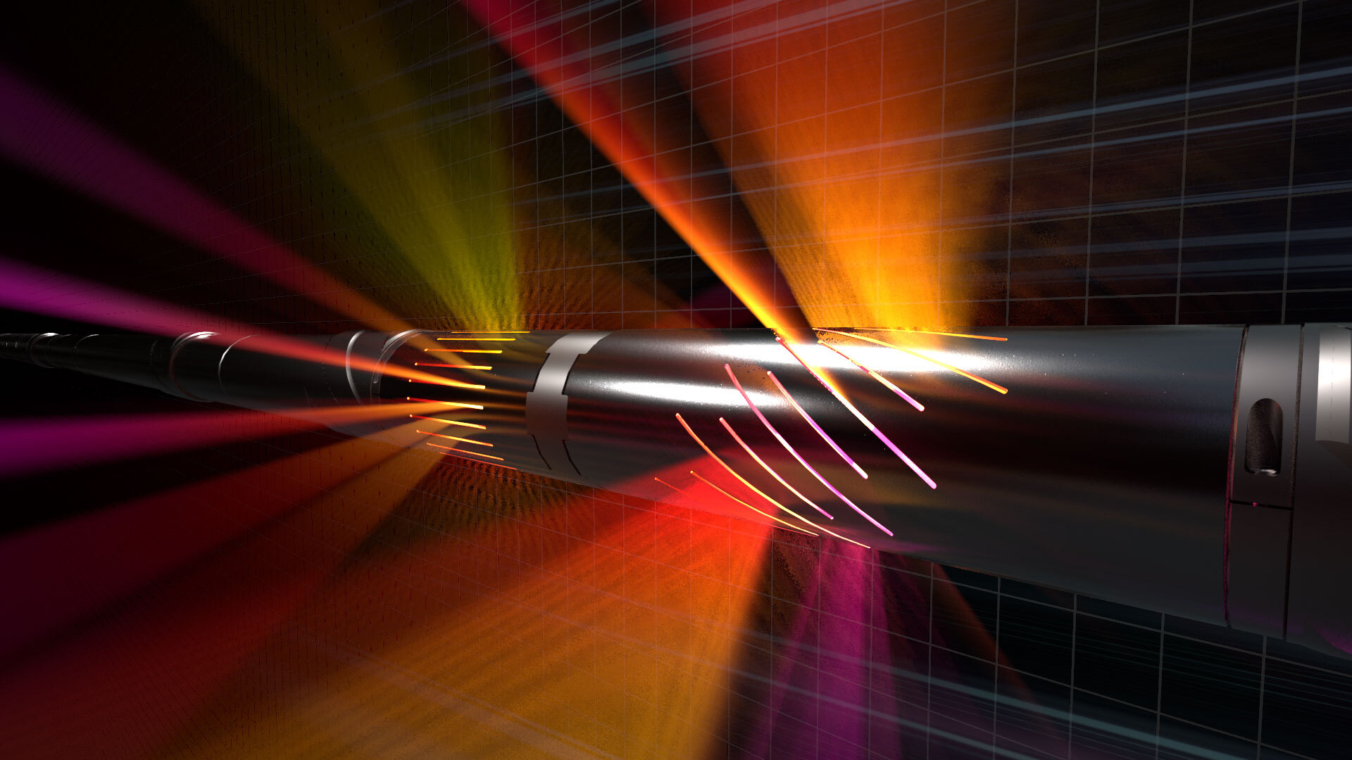
The EarthStar ultra-deep resistivity service is an innovative logging-while-drilling (LWD) technology that illuminates your reservoir by revealing reservoir formations and fluid boundaries up to 225 feet (68 meters) around the wellbore. It enables operators to position production boreholes accurately while mapping large volumes of the reservoir. EarthStar further enhances subsurface knowledge with the industry-first 3D inversion, a technology that provides a real-time visual of the geology and fluids in place in 3 dimensions for better placement decisions.

EarthStar® ultra-deep resistivity service

01:17
EarthStar® ultra-deep resistivity service

WORLD OIL 2024

Mitigating deepwater and subsea formation evaluation challenges

Formation evaluation and drilling pose challenges on land. Offshore conditions are more complex, with HPHT stresses placed on equipment, due to deepwater and formation conditions. Halliburton addresses the complexities of drilling through unpredictable salt formations and harsh deepwater conditions by using advanced directional drilling profiles and automated steering technologies.

read article
icon

World Oil 2019

Applying LWD resistivity technology in a SAGD operation

Read how steam-assisted gravity drainage (SAGD) operators mapped reservoir and fluid boundaries 200 feet from the wellbore.

Read the article

EarthStar® 3D ultra-deep resistivity service

Illuminate and map reservoir and fluid boundaries up to 225 feet (68m) from the wellbore.

01:53
EarthStar® 3D ultra-deep resistivity service

Get the highest depth of detection and place wells accurately the first time

The EarthStar ultra-deep resistivity service from Halliburton Sperry Drilling illuminates reservoirs, giving operators more information than ever before:
 
  • Geostopping: Reduce well time and cost-per-BOE by detecting target zones early and landing the production lateral in a single-run, eliminating costly pilot holes and sidetracks.
  • Geosteering: Drill to produce by placing the well in the sweet spot, avoiding unwanted reservoir exits and non-productive zones, making geosteering decisions early while drilling.
  • Geomapping: Enhance reservoir understanding by mapping while drilling formation boundaries and hydrocarbons in place and identifying bypassed pay and fluid movements, increasing production potential and maximizing field reserves.
icon

Ready to take the next step?

Talk with a Halliburton EarthStar expert

Get in Touch