 Search
 Search
Unique engineered drilling solution involving 4¾-inch EarthStar® service and iCruise® system maximizes asset value
Download PDFUnconventionals

Drill shoe-to-shoe in a sweet porous zone of a horizontal well

East Gulf Region, Oman

An operator was drilling a horizontal well in a new area of Oman’s Eastern Gulf region, with limited control points and very low resistivity contrast between the target zone and wellbore boundaries. The operator also faced uncertainty regarding the geological model, lateral changes, and petrophysical attributes in this very thin reservoir. Precise geosteering tools were needed to maintain proximity to the reservoir roof and to drill shoe to shoe in a sweet porous zone in order to avoid costly and time-consuming sidetracks in non-productive zones.
The Halliburton Sperry Drilling team was brought in to increase reservoir understanding, maximize reservoir exposure, and reduce well time. Close collaboration with the client’s subsurface team, along with knowledge sharing among various Halliburton disciplines, enabled effective and timely communication – a key to the project’s verall success.
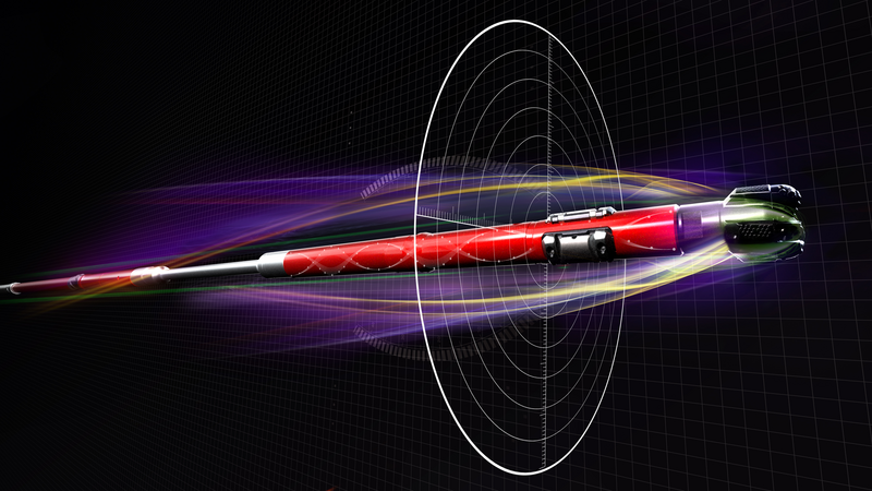
An engineered drilling solution resulted from extensive modeling, pre-job meetings, and feasibility analysis. With buy-in from all stakeholders, a clear geosteering strategy/workflow was implemented, consisting of the following combination of tools:
An integrated approach included the Halliburton Well Services group, along with our onsite geosteering team, directional drillers, and surface data logging services – all working in conjunction with the geosteering operations setup in our Halliburton remote drilling center located in Muscat, Oman.
The drilling campaign successfully mapped the reservoir’s top and bottom throughout the lateral section. The right combination of tools allowed the directional drillers to steer in exceptionally low resistivity contrast between the target zone and boundaries. They were also able to maximize reservoir exposure, covering the required percentage of the reservoir contact. Furthermore, all the drilled sections were successfully drilled shoe to shoe, in a run covering 4,245 feet (1294 meters).
The EarthStar service forward modeling data confirmed that the reservoir was thinning, thanks to its ability to detect the upper boundary approximately 20 feet (6.1 meters) true vertical depth (TVD) away, while the trajectory/EarthStar service was in a formation of 1.5-ohmm resistivity. This was accomplished using a single receiver at 24 feet (7.3 meters) spacing.
The first-time use of this uniquely engineered solution helped maximize asset value through accurate drilling that enabled the operator to finish the well a week ahead of plan, with zero non-productive time (NPT).
drilled sections shoe-to-shoe in feet
true vertical depth (TVD) away in feet
single receiver spacing in feet

Comprehensive and efficient technology solutions for optimal fluid recovery and minimal environmental impact.

Reduce well time through fast drilling, fast tripping time and quicker casing drill outs

Ultra-deep resistivity service mapping reservoir and fluid boundaries up to 225 feet from the wellbore.
