Earthstar ultra-deep resistivity service maximizes asset value in mature carbonate field
Download PDFDeep Water

Intersect remaining oil within a partially water-flooded reservoir

North Sea

Exploit remaining oil reserves in a mature carbonate field characterized by:
In a mature carbonate field in the North Sea, an operator was seeking to intersect remaining lobes of oil within a partially water-flooded reservoir. The reservoir had been producing under water-flood conditions for many years. Uneven flooding had resulted in many areas of bypassed hydrocarbon deposits, which were distributed in ways that were hard to predict. This made the placement of new wells, intended to exploit the remaining reserves, very challenging. The operator sought to improve the reliability with which they could target and produce residual reserves, while lowering development costs and maximizing overall recovery from the field. Halliburton Sperry Drilling recommended the EarthStar™ ultra-deep resistivity service to detect and map the location of the remaining oil, enabling critical geosteering decisions and helping the operator maximize asset value by increasing the overall productive length of the well.
Geomapping helps operators map the volume of hydrocarbons in place and understand fluid movements that have occurred due to production or water injection. In one well, the EarthStar service successfully mapped a large hydrocarbon-bearing zone. Real-time reservoir data, delivered through the proprietary RoxC™ geosteering software, indicated that, after drilling about 1,000 feet (305 meters) measured depth (MD) in the oil zone, the well drilled into a zone of injected water that continued for over 400 feet (122 meters) MD. At this point, the operator had to decide either to continue drilling, or to stop drilling and complete the well.
The real-time visualization of the EarthStar service data, provided by Halliburton Sperry Drilling geosteering experts, indicated that the logging-while-drilling (LWD) drill string was moving toward a second oil lobe approximately 50 feet (15 meters) true vertical depth (TVD) below the well. None of the other sensors in the LWD string indicated anything other than water, but, based on the real-time data from the EarthStar service, the geosteering team recommended that the operator continue drilling to target the second oil zone. Through precise geosteering, the well successfully intersected the second zone, and remained within it for approximately 500 feet (152 meters).
By landing in the second sweet spot, the operator was able to increase the overall productive length of the well by approximately 50 percent, dramatically increasing potential production and maximizing the value of the mature asset. The geomapping capability of the EarthStar service led to the discovery of additional pay; without it, the additional reserves would have very likely remained untapped.
increase in the productive length of the well
oil zone reached

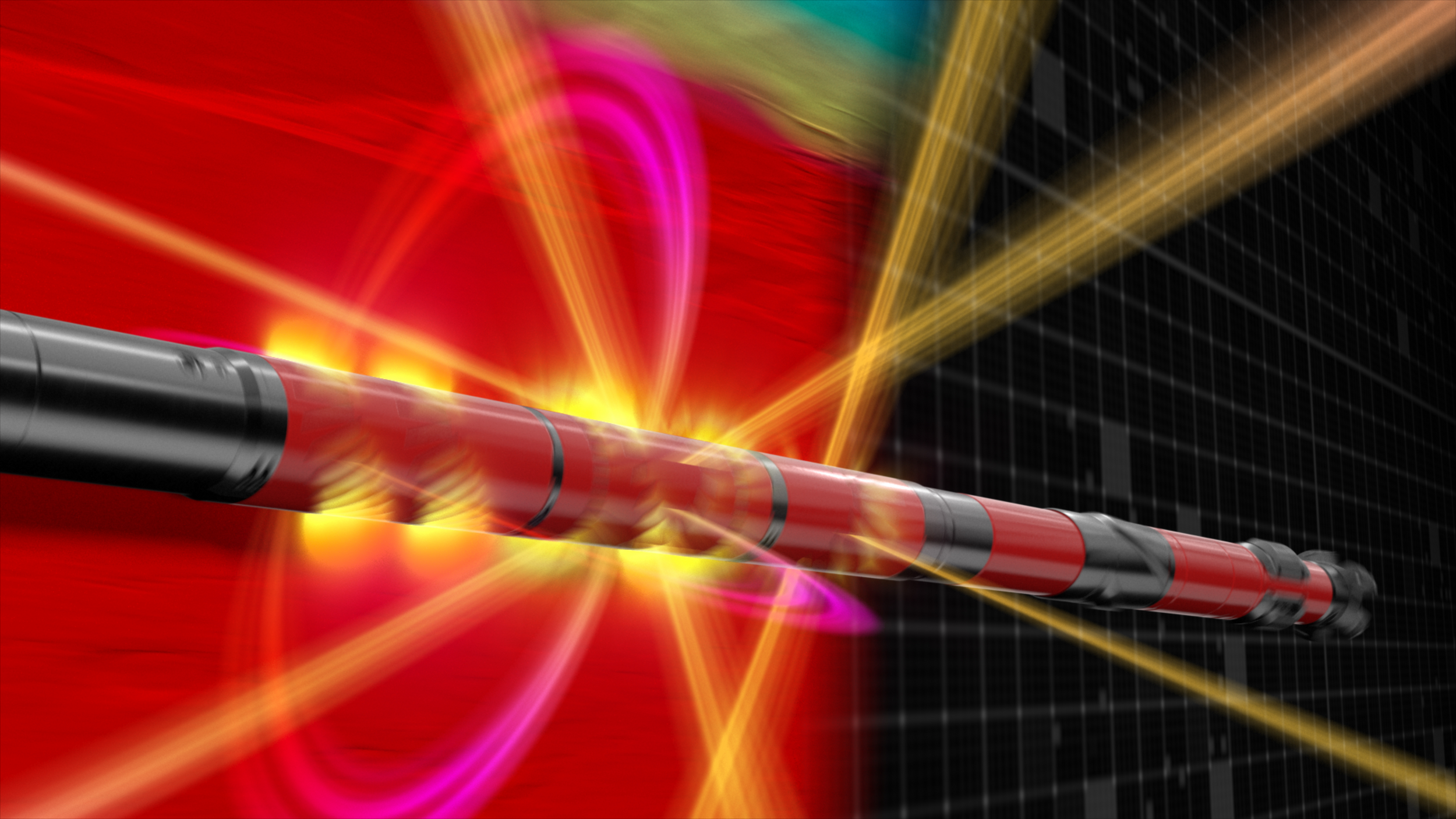
Ultra-deep resistivity service mapping reservoir and fluid boundaries up to 225 feet from the wellbore.
Halliburton delivers drilling performance to increase asset recovery, improve wellbore quality, and reduce overall well construction costs.

