Search
Opportunity

Mature Fields

Opportunity
Specific Challenge

Maximize reservoir contact to increase overall productivity

REGION - Norway REGION - Norway

Norway

REGION - Norway

Challenge

  • Maximize reservoir contact to increase overall productivity
  • Identify vertical and lateral changes in formation resistivity and thickness
  • Transition from 1D to 3D inversion to better understand the complex reservoir structure 

Solution

  • EarthStar® ultra-deep resistivity service, with advanced 3D inversion
  • Dedicated geosteering team to provide:
    • 3D inversion of ultra-deep azimuthal EM data
    • Live display of the inversion results
    • Export 3D EM data to operator’s earth model


Result

  • Presented 3D inversion results in real time
  • Identified complex reservoir structures and correlated with independent LWD tools
  • Revealed massive sand was a package of stacked sand channels

Overview

A trilateral well targeting the Heimdal formation, located in a sandstone reservoir on the Norwegian continental shelf, was successfully drilled to exploit the undrained oil-bearing zone. Known challenges of the reservoir included its complicated internal sedimentary structures, compartmentalization, and moved and undulated fluid surfaces. The EarthStar® ultra-deep resistivity service from Halliburton was combined with advanced three-dimensional (3D) inversion technology for the first time, in real time, along with conventional logging-while-drilling (LWD) measurements, for enhanced reservoir understanding of the geology and fluids in place.

Challenge

One-dimensional (1D) inversion of electromagnetic (EM) data only reveals changes in a reservoir above and below the well path. While this may be sufficient for layer-cake reservoirs, it does not identify changes in the thickness of units and their associated resistivity values. In this complex turbidite system reservoir, changes in the target sands were expected to occur in all directions because units can pinch out and later periods of erosion can incise the reservoir. A viable solution was required to accurately represent both the lateral and vertical changes.

Solution

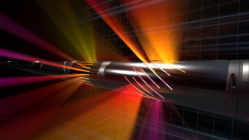
The EarthStar service was selected to measure and identify formation and fluid boundaries up to 225 ft in three dimensions around the borehole. The initial introduction of ultra-deep EM tools used 1D algorithms to identify the boundaries above and below the well, simplifying the EM field to five components. With the advanced 3D inversion technology of the EarthStar service, all nine components were used for true 3D mapping of the formation and fluid boundaries. The service was able to show lateral variability in addition to the vertical changes mapped by 1D inversions.
Result

The well entered the reservoir at the planned target–below the oil-water contact (OWC). The engineered solution with the EarthStar service 3D inversion mapped the OWC 25 feet (7.5 meters) above the wellbore. The first lateral showed oil sands with higher resistivity to the left of the initial well. A sidetrack well was drilled to reach the updated target identified by the service. Upon entry to the oil zone, different structural and sedimentary structures were also mapped revealing erosive channels and other features matching the expected reservoir composition. The erosive channels were correlated with a spectral decomposition seismic cube, which showed an excellent match allowing the outcome to be extrapolated farther away from the wellbore. Furthermore, the 3D inversion defined sedimentary features that corresponded to stacking channels separated by thin, denser layers. The angles of these features were successfully correlated with density data and exposed the complexity known for the region. The EarthStar service 3D inversion technology provided the operator valuable insight into the different structures within the reservoir and contributed to the regional subsurface understanding. This solution enables more accurate decision-making and precise placement of future targets in the same field and other analogous fields.
 

Related Products

EarthStar® Service

EarthStar® Service

Ultra-deep resistivity service mapping reservoir and fluid boundaries up to 225 feet from the wellbore.

Explore
icon

Ready to Take the Next Step?

Talk with a Halliburton drilling expert

Get in touch