Valuable insight into the complex subsurface geology of Alaska’s North Slope
Download PDFMature Fields

Increase understanding of shallow marine subsurface geology

United States

Run two independent systems and correlate results between the new and existing technology tools:
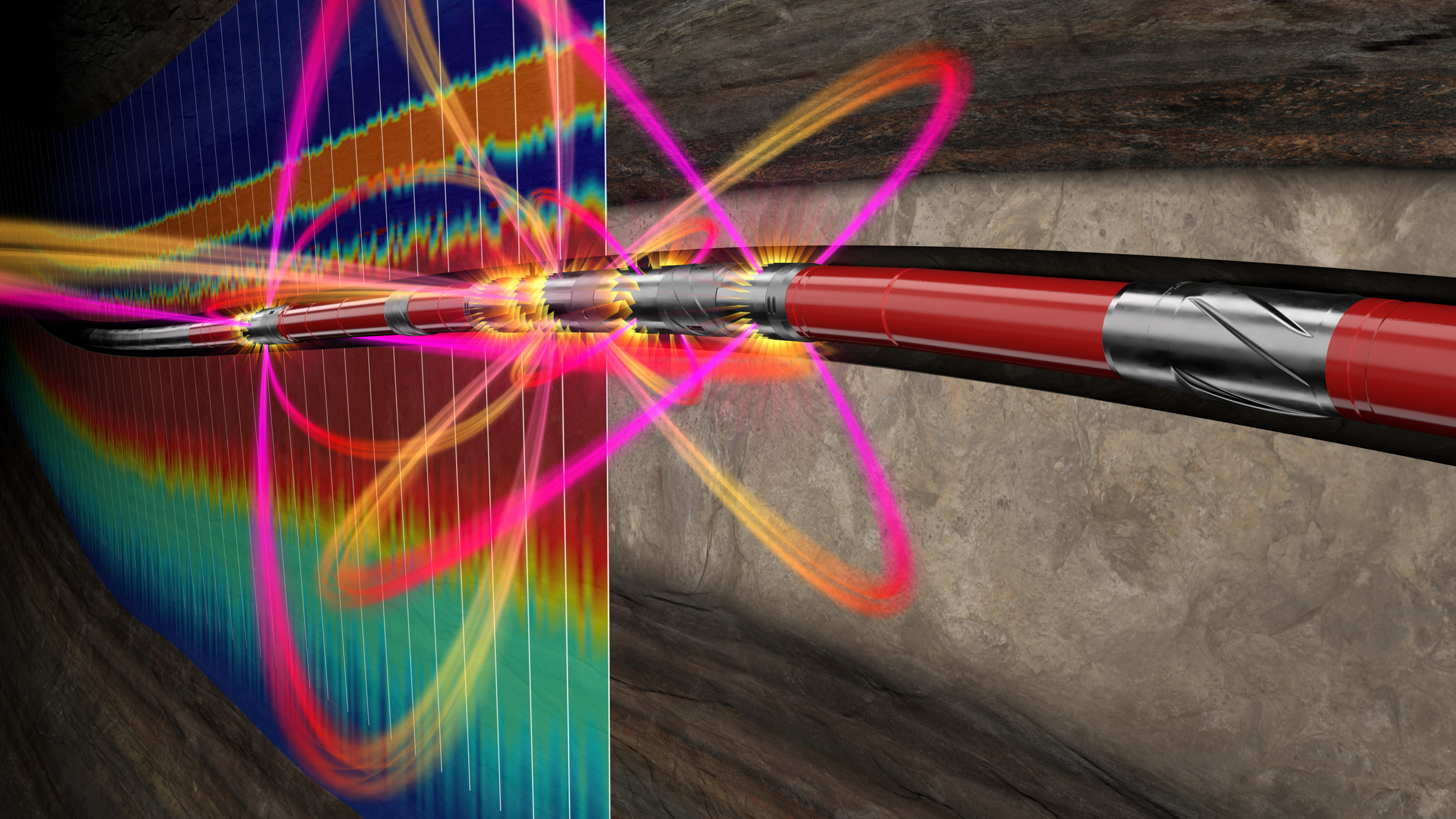
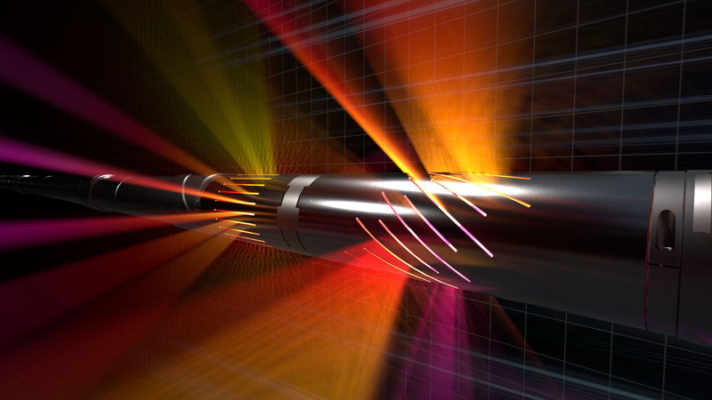
A shallow marine depositional environment can create a complex, laterally variable sequence of thin productive sands and non-productive silts and shales. The precise mapping of these layers while drilling optimizes the well path, enhancing reservoir understanding and increasing exposure to the producing sand units. The Halliburton StrataStar™ service is designed to deliver these benefits using deep azimuthal resistivity measurements, which, when combined with advanced inversion processing, maps reservoir and fluid boundaries up to 30 ft (±9 m) from the wellbore.
The early adoption of azimuthal electromagnetic logging-while-drilling (LWD) technology by an operator of Alaska’s North Slope necessitated winning confidence in the expected results. Using this complex reservoir as a proving ground, the new StrataStar service was deployed alongside an existing azimuthal resistivity tool in a 6-3/4-in. bottom hole assembly to steer a 10,000-foot-long (3048-meter-long) horizontal section with a goal to verify comparable, if not better, downhole data.
The field trial plan: directly compare the deep resistivity measurements throughout the LWD execution while correlating the wellbore data of the advanced StrataStar service mapping capabilities with traditional techniques, such as gamma-ray sensors.
ft horizontal section
Halliburton proposed the StrataStar deep azimuthal resistivity service for its ability to provide a detailed, high-resolution inversion canvas in real time, which was ideal for conducting a rapid, reliable assessment of the Alaska North Slope subsurface geology. The solution also enabled accurate well placement decisions to optimize the well path—even in the complex marine deposits of this reservoir.

iStar™ Drilling and Logging Platform
Multilayer mapping for precise well placement
Download Data Sheet
Deep azimuthal resistivity measurements for multilayer mapping and precise well placement.
Ultra-deep resistivity service mapping reservoir and fluid boundaries up to 225 feet from the wellbore.
Gather real-time, high-quality data while drilling for improved subsurface insight, increased ROP, and enhanced wellbore stability