Multilayer mapping for precise well placement
Talk to an expertThe StrataStar® Deep Azimuthal Resistivity service provides multilayer mapping for precise well placement in the most productive zones of the reservoir. Built on multiple innovations for greater performance, StrataStar improves real-time fluid characterization by providing accurate resistivity and anisotropy. With an increased amount of information collected, wide volume investigated, and faster data interpretation, wells are precisely placed where they benefit operators most.
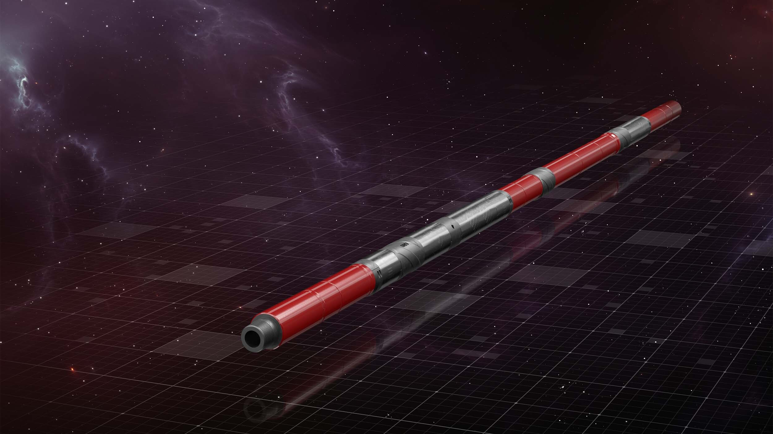
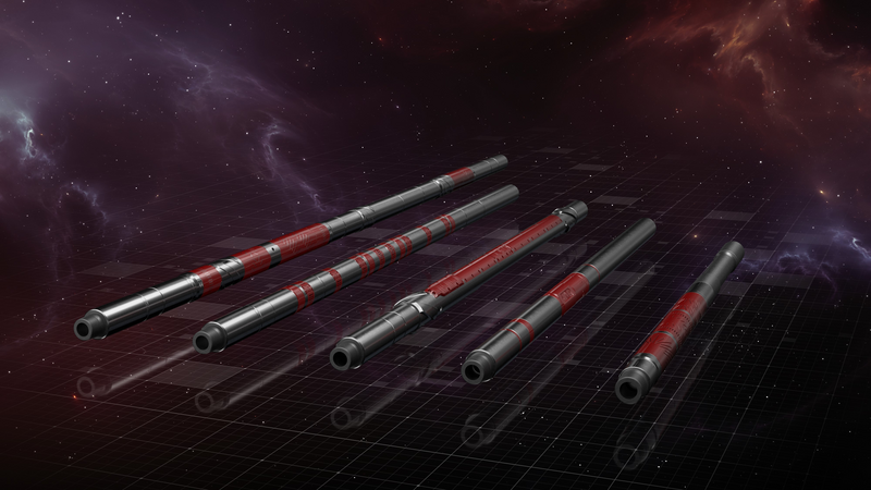
StrataStar Service
The StrataStar deep azimuthal resistivity service delivers high-fidelity pictures of the reservoir with superior depth of investigation and a comprehensive understanding of resistivity, including anisotropy.

The StrataStar service makes deep azimuthal measurements up to 30-feet around the wellbore. A sophisticated processing algorithm inverts the data and maps the positions, thicknesses, and resistivities of interbedded rock and fluid layers. Real-time visualization of the surrounding geology and fluids provides key information required to precisely place the well and maximize reservoir contact.
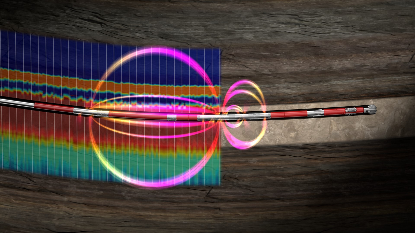

The StrataStar service provides shallower multi-frequency measurements over four spacings to deliver a comprehensive understanding of resistivity across the widest range of fluids and rocks. Real-time access to anisotropy in a relatively undisturbed environment drives a more accurate calculation of the water saturation, further supporting advanced petrophysical analysis of the reservoir.
Encompasses the robust, compact design of the iStar™ intelligent drilling and logging platform and combines a novel crossed-transmitter antenna design that enables the computation of anisotropy in real time with a suite of advanced inversion techniques.
Fully digital and web-enabled to monitor and control drilling and logging operations from anywhere.
Explore