Geosteering well placement achieves 1,983 feet of oil pay in 8-½” horizontal section
Download PDFUnconventionals

Geosteer in thin oil sand to optimize well placement and enhance understanding

Offshore, Malaysia

An operator had been exploiting and producing the K10.1 sand of the Bertam A field since phase one, with the placement of 19 horizontal wells to tap this oil reservoir. These oil pay were previously geosteered using only the ADR™ azimuthal deep resistivity service, as a strong geosignal provided clear indications and confidence to track the top of the K10.1 sand boundary approximately 4-5 ft away. As the top sand was relatively exploited, a new oil reserve was found in the lower K10.2.
The new challenge was to geosteer within this K10.2 sand that is just meters thin. Due to structural and stratigraphy uncertainty, where the shale separating the K10.2 and the K10.1 sand above it may be less developed at the toe of the horizontal section, the ADR geo-signal could be muted. There was also potentially poor development of the top of the K10.2 shale signature at the section half of the horizontal hole section. To de-risk this uncertainty, Halliburton Sperry Drilling proposed using its EarthStar® ultra-deep resistivity service with a short-spaced configuration, in combination with the ADR tool, to better delineate the K10.2 and reference the K10.1 top, if required.
An in-depth feasibility study on the resistivity inversion modeling and a sensitivity study of various structural, lithological, and OWC fluid contact scenarios facilitated the execution of real-time geosteering decisions. Geosignals from both the ADR and EarthStar services helped the operator successfully place 1,982 ft of horizontal section in oil pay. An incremental ~USD 310,000 revenue was realized from this successful project, maximizing asset value for the operator.
Feet of horizontal section placed
USD revenue realized
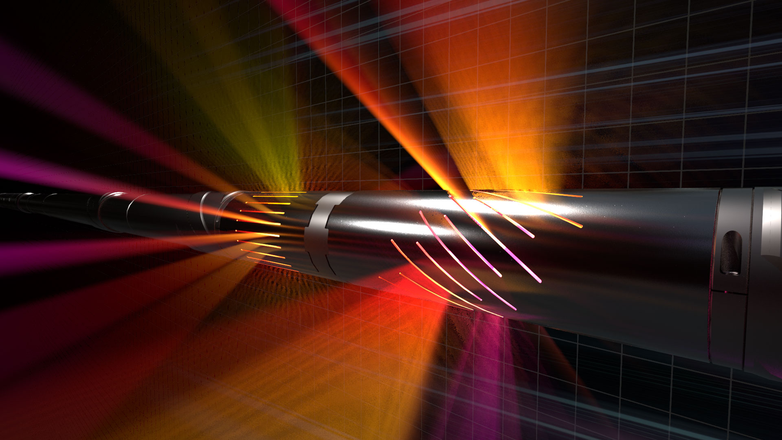
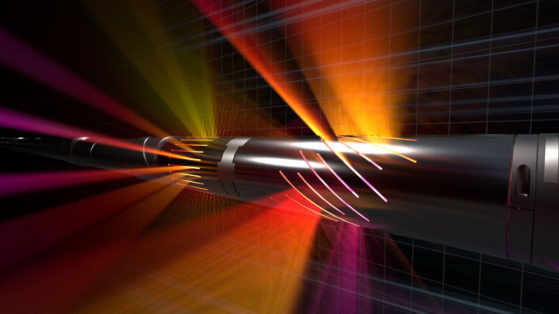
ADR's deep-reading geosteering and resistivity sensors deliver over 2,000 unique measurements for accurate petrophysical analysis and wellbore placement.
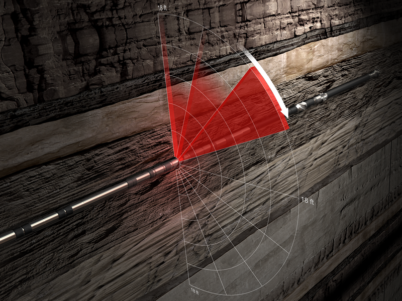
Ultra-deep resistivity service mapping reservoir and fluid boundaries up to 225 feet from the wellbore.
Halliburton delivers drilling performance to increase asset recovery, improve wellbore quality, and reduce overall well construction costs.