MaxSurvey™ analysis service reduces anti-collision risk and more accurately places wellbore
Download PDFReduce anti-collision risk

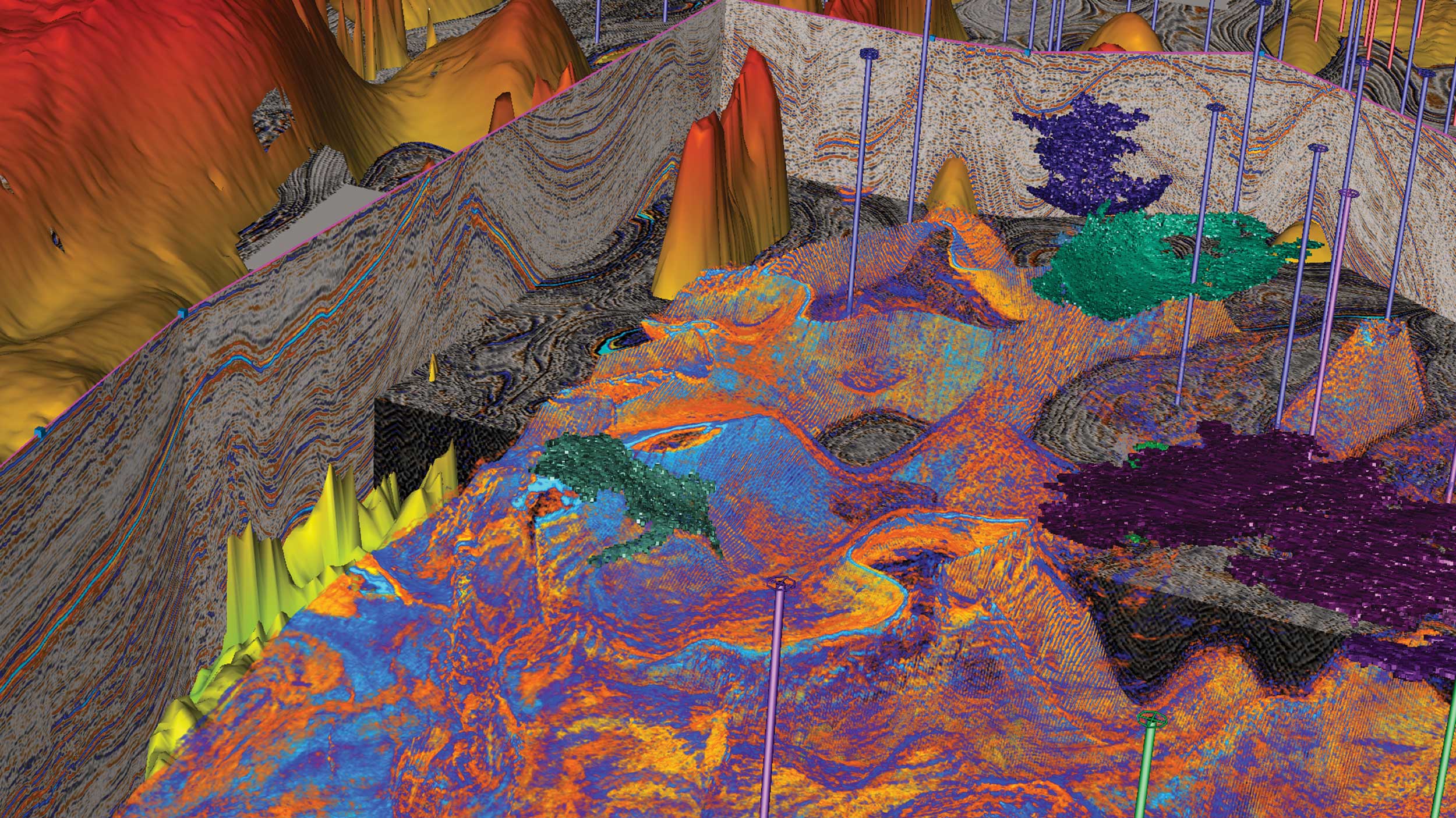
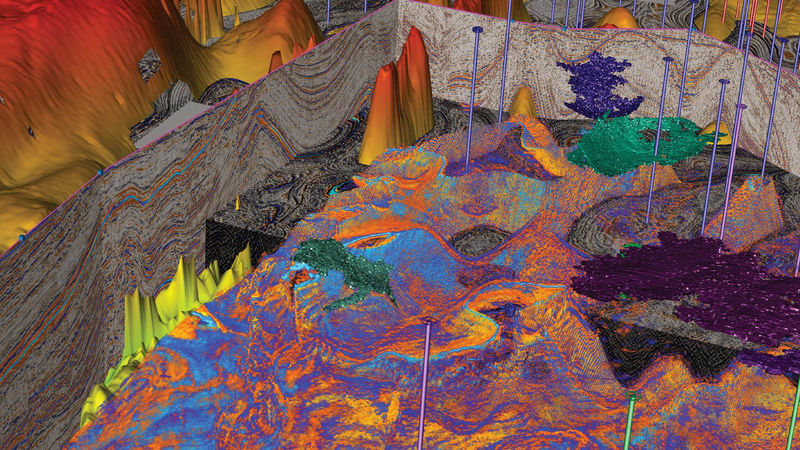
Denver-Julesburg Basin, Colorado

In multiple-well field, an operator needed to determine if it would be possible to continue drilling, or if a trip-out was necessary:
MaxSurvey™ analysis service corrected the raw six-sensor data within FAC tolerances, and also:
MaxSurvey™ Analysis corrects the raw 6 sensor data within FAC tolerances:
While drilling a well in the Denver-Julesburg Basin in Colorado, an operator experienced directional survey issues with another service provider, where poor calibration was causing the directional surveys to fail the field acceptance criteria (FAC) for total gravity (Gtotal). Providing multi-station analysis (MSA), the Survey Solutions Group™ service from Sperry Drilling was tasked by the operator to interpret raw six-sensor data received from a third-party measurement-whiledrilling (MWD) directional probe. In order toreduce anti-collision risks and the size of the error of uncertainty, the team monitored the directionalsurvey probe sensor values against the assigned instrument performance model (IPM), which is a type of survey and correction techniqueapplied to the survey data and its uncertainties. During one run, the survey sensors began measuring outside of IPM quality control tolerances. The Survey Solutions Group was able to correct the accelerometer errors and back-correct the previous surveys so that the operator was able to continue drilling without additional anti-collision risks.
In a field with multiple wells, knowing the well position from directional surveys is critical to minimize anti-collision risks. In some instances, the survey directional data measured outside of the tolerances due to sensor bias and magnetic interference.
In this operation, if the deviation was due to a sensor inaccuracy or bias, Sperry Drilling could offer a solution. The Survey Solutions Group needed to determine whether the probe had a correctable issue. If the probe had an uncorrectable issue, the IPM would have to be downgraded, forcing the operator to either continue drilling with added anti-collision risks — or mandating a trip out of the hole to replace the third-party directional probe, along with a trip back into the hole — thus costing extra rig time and money.
There are very few service providers that can apply MaxSurvey™ analysis, or multi-station analysis (MSA) corrections for third-party tools. The Survey Solutions Group, which provides a full suite of survey management services, recommended that the raw six-sensor data be run through the state-of-the-art MaxSurvey analysis service for MSA. With enough survey data, the software can identify and determine whether any of the sensors had a correctable bias. The MSA corrects for this bias to bring the directional survey probe data back into FAC for the IPM. A back-correction of existing survey data is calculated and the bias is corrected in real time for the remainder of the run.
After analyzing the data, MSA determined that the cross-axial accelerometers had large biases. The MaxSurvey analysis corrected for these biases and recalculated a more representative Gtotal data point, thus revealing a more accurate wellbore position. With the corrected survey data within FAC, the operator was now within the IPM quality control range, averting the need to downgrade the IPM and lowering anti-collision risks. With confidence restored in the survey data, the operator continued drilling without having to trip out of the hole to replace the survey probe, saving an estimated eight hours of rig time and demonstrating that Survey Solutions Group services was the preferred choice for survey management services.
Using advanced real-time software to increase survey accuracy and reduce positional uncertainty.
Halliburton delivers drilling performance to increase asset recovery, improve wellbore quality, and reduce overall well construction costs.