Machine learning on challenging seismic data-set yields best-yet image of topseal and lateral changes in reservoir lithology
Download PDFImprove reservoir characterization and reduce uncertainty

Angola

The billion-barrel Pacassa oil field was discovered offshore Angola in 1982. The reservoir comprises oolitic to siliciclastic ramp sequences of the Albian Pinda Group of northern Angola, which have been pervasively dolomitized. The reservoir is segmented by salt tectonic gravitational gliding in halokinetic “turtle-back” and raft structures that provide hydrocarbon traps. Reservoir properties are good to excellent, with overall porosities averaging 21–22%, and locally as high as 35%. Permeability ranges from 150 mD upward, with an average of 450 mD. Despite excellent well control, this mature field’s vintage poststack seismic data was challenging to use for reservoir characterizations and used seismic attribute analysis and traditional seismic inversion approaches. With interest in exploring further field development opportunities (including production optimization, infill drilling, and step-out exploration), an updated static reservoir description was required.
The challenge with this field was how to derive accurate insights on reservoir properties aside from well control when using an old poststack seismic dataset to generate a new static model that would incorporate current well data for detailed development evaluations of an area of the field extending to the southwest. Previous attempts to use traditional seismic inversion methods for determining reservoir properties were unsuccessful due to the age and quality of the older data.
A machine learning (ML) approach was applied that incorporated deep learning for poststack seismic inversion to generate the acoustic impedance and porosity volumes for earth modeling. A workflow was created in Python that consisted of three stages: 1) data preparation, 2) a traditional inversion around the wellbore to create an augmented dataset for training, and 3) a deep-learning seismic inversion. Step three used the augmented data from the previous stage where a modified U-Net deep-learning model was trained using the seismic data and a velocity model as inputs, and the augmented well acoustic impedances were the desired output values. The four steps involved during this process included multi-objective optimization, utilizing the deep-learning model (U-Net), running iterations to compute the acoustic impedance correlation (predicted vs. trace), and generating the acoustic impedance volume. This process was interactively executed until a desired convergence on the test data was achieved. The test data was a subset of wells that were not used in the initial training. Porosity computations were provided by traditional petrophysical analysis of the well-log data.
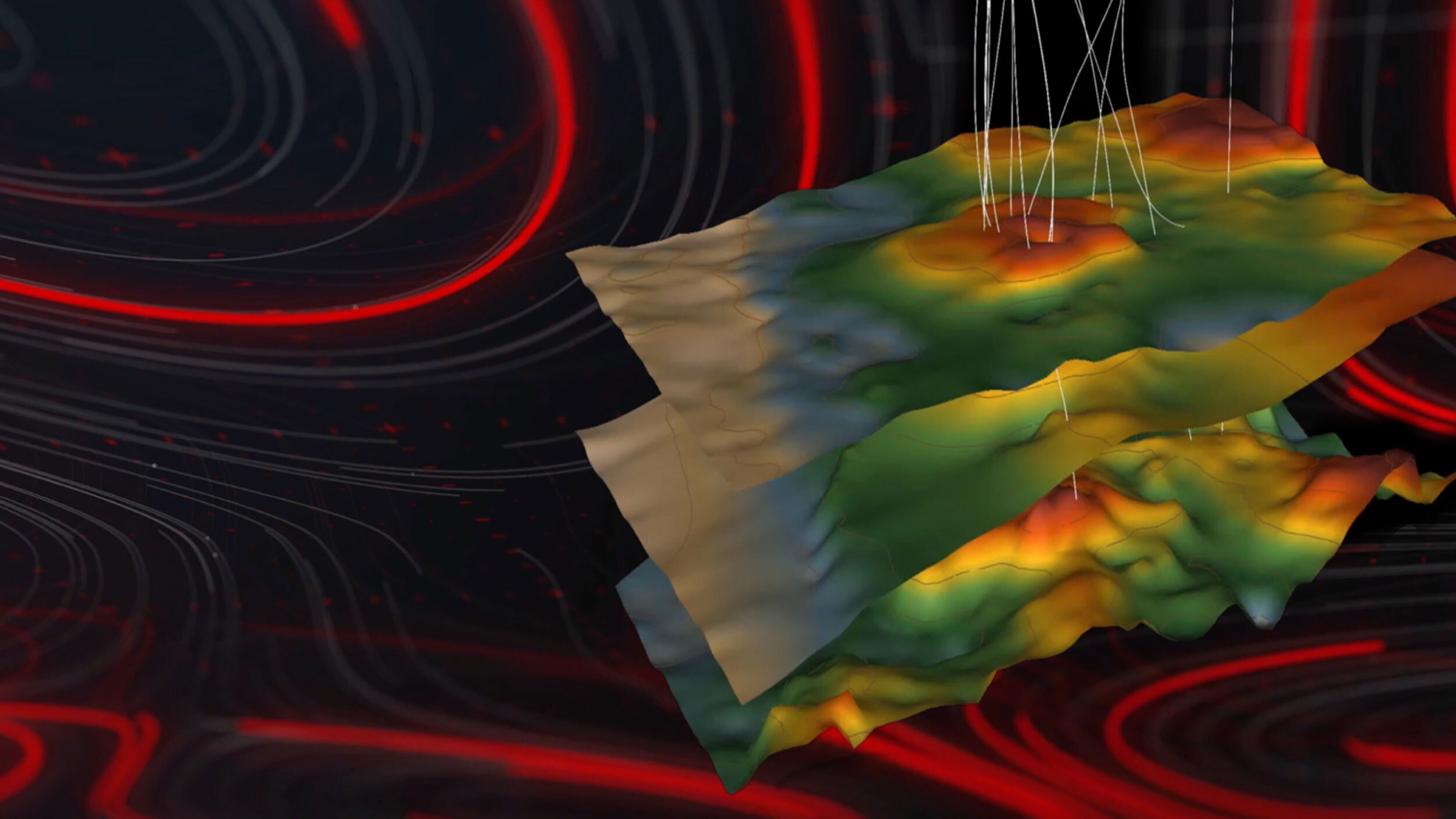
The deep-learning seismic inversion provided an excellent identification of the reservoir topseal and lateral changes in reservoir lithology in the southwest area of the Pacassa field. This method provided significant improvements over the previous poststack attribute waveform classification and traditional inversion attempts that failed to resolve these features. Additionally, a root mean square (RMS) amplitude run on the reservoir inversion models showed further field extension and will be used to further reduce uncertainty in appraisal locations in the southwest portion of the Pacassa field.
These results were achieved using a data-driven approach that did not require a physical model. Another significant gain was the speed over the traditional model-based approach. This approach was up to a 1,000x faster than previous methods, even considering the time needed for data augmentation and training. In the future, this approach can also be applied to different Pareto solutions (such as determining sparsity, well correlation, and seismic correlation). The application of advanced ML technology, using deep learning, allowed the Halliburton team to extract new insights from old data to demonstrate the power of digital transformation in next-generation subsurface interpretation.