Maximize subsurface characterization, exploration, and development with Halliburton’s intelligent data modeling software and instant insights
talk to an expertHalliburton harnesses advanced subsurface intelligence to enhance asset value. By integrating cutting-edge artificial intelligence (AI) and machine learning (ML) technologies, we optimize subsurface characterization and analytics, which enables real-time data visualization. Our innovative, gridless modeling approach supports consistent and reliable subsurface characterization. Through digital transformation, we accelerate time to value, combining state-of-the-art digital technologies with comprehensive subsurface data.
Halliburton’s open platform transforms subsurface exploration, allowing you to discover new opportunities quickly. Our real-time analytics and advanced algorithms combine data from various sources to support your digital exploration.
Key features:
Earth modeling: Achieve accurate subsurface details with our advanced earth modeling
Field development: Improve your field strategies with our flexible solutions
Risk reduction: Reduce risks and increase recovery with our adaptive methods
With Halliburton’s open architecture, you can speed up your digital transformation, integrate extensive data sets, and gain valuable insights into your subsurface assets. Explore the future of subsurface exploration with Halliburton and maximize your recovery.
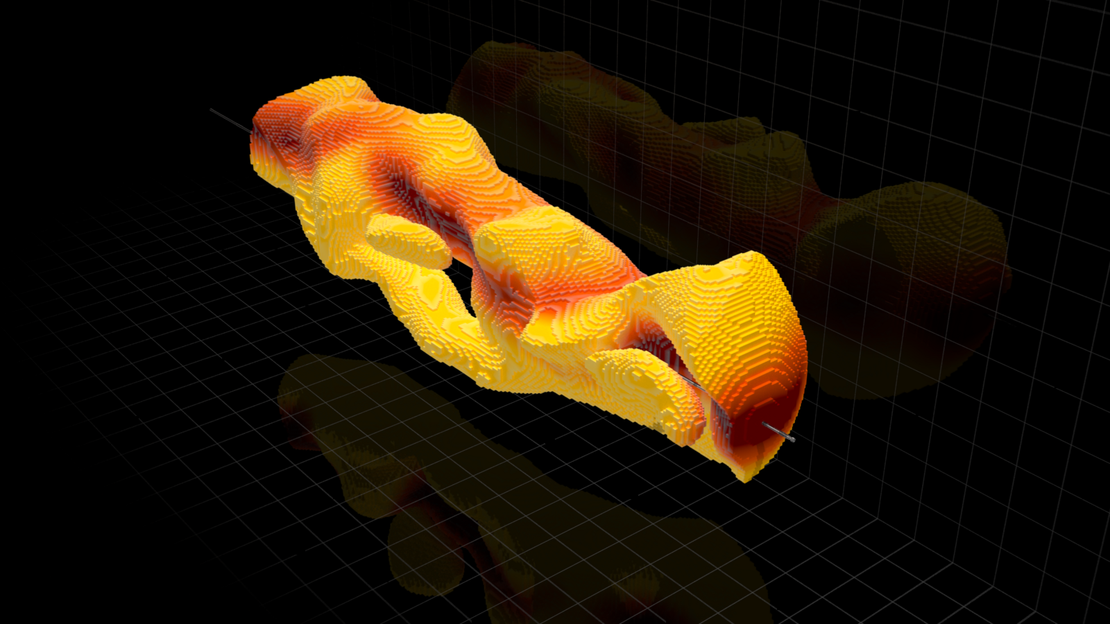
Run efficiency in carbonate reservoir with EarthStar®
ROP improvement offshore UAE with PulseStar™
Image coverage with StrataXaminer borehole imaging
Industry solution with RezConnect® well testing
Operators can now utilize precise, real-time subsurface data to optimize assets both before the first oil discovery and during active development. Our comprehensive data sources, including logging-while-drilling, wireline runs, cores, and seismic data, seamlessly integrate with advanced analytics and algorithms. This integration creates the industry’s only evergreen subsurface model, significantly enhancing the accuracy and update speed of static and dynamic reservoir digital twins. Gain real-time subsurface insights throughout your project to maximize efficiency and recovery.

The industry’s first real-time, forward-looking 3D geological insights in horizontal wells before they are penetrated by the bit
explore earthstar 3dx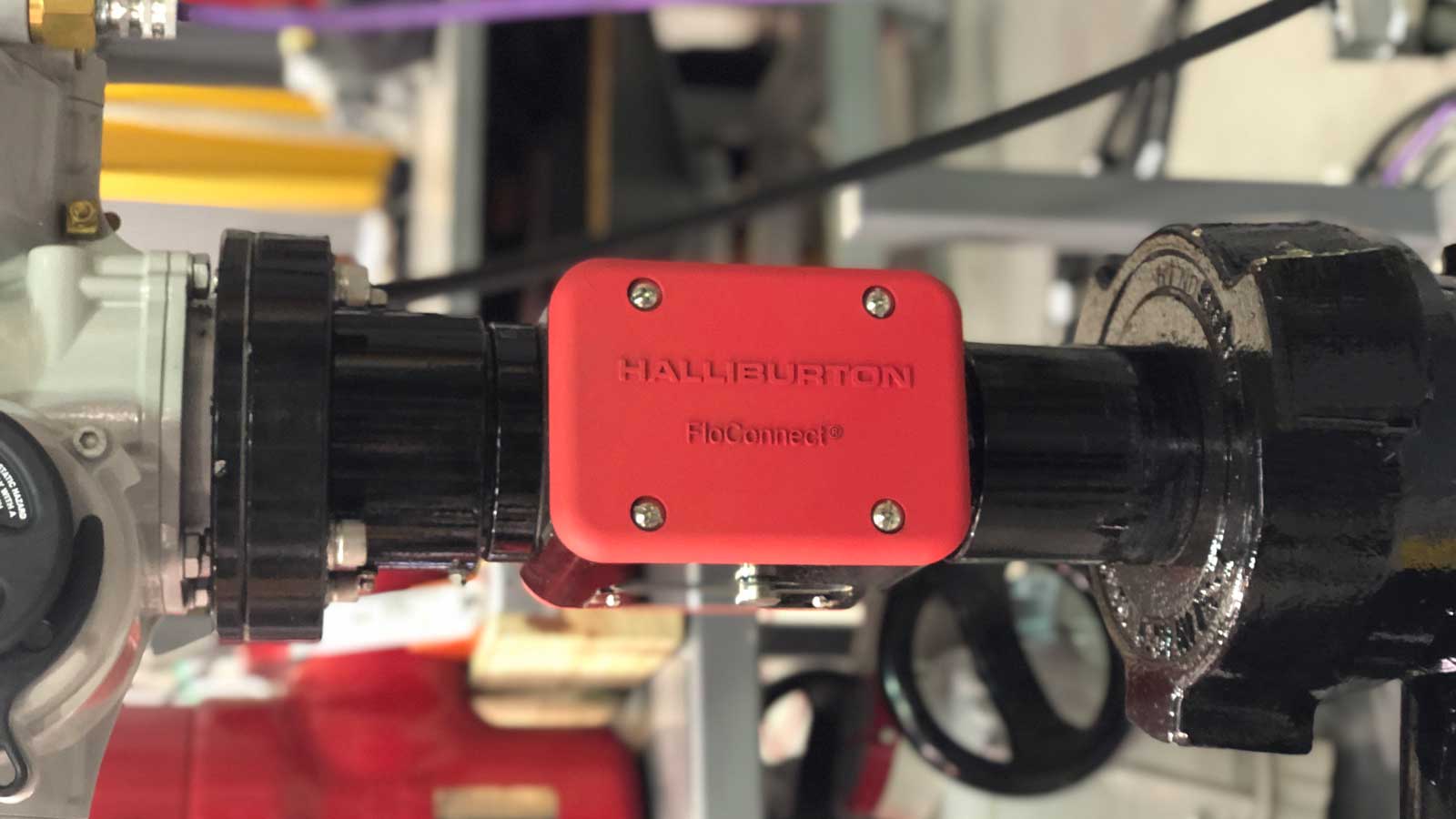
Control, measure, and analyze surface well testing through automated workflows
explore floconnect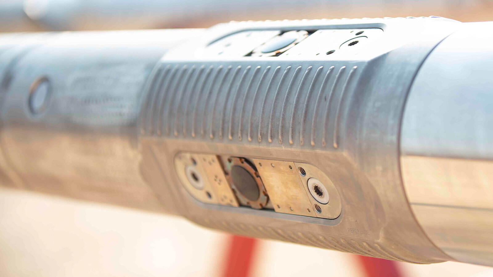
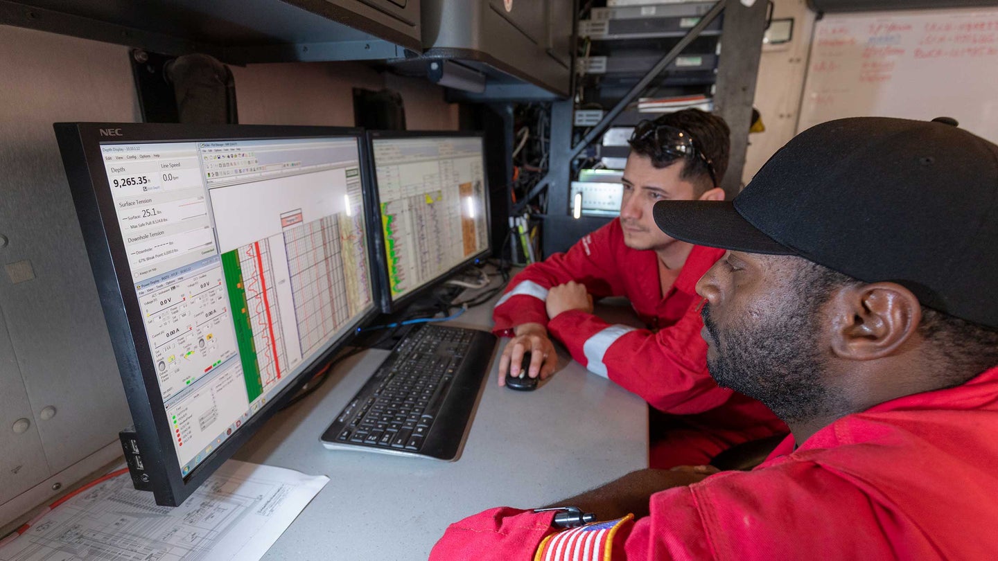
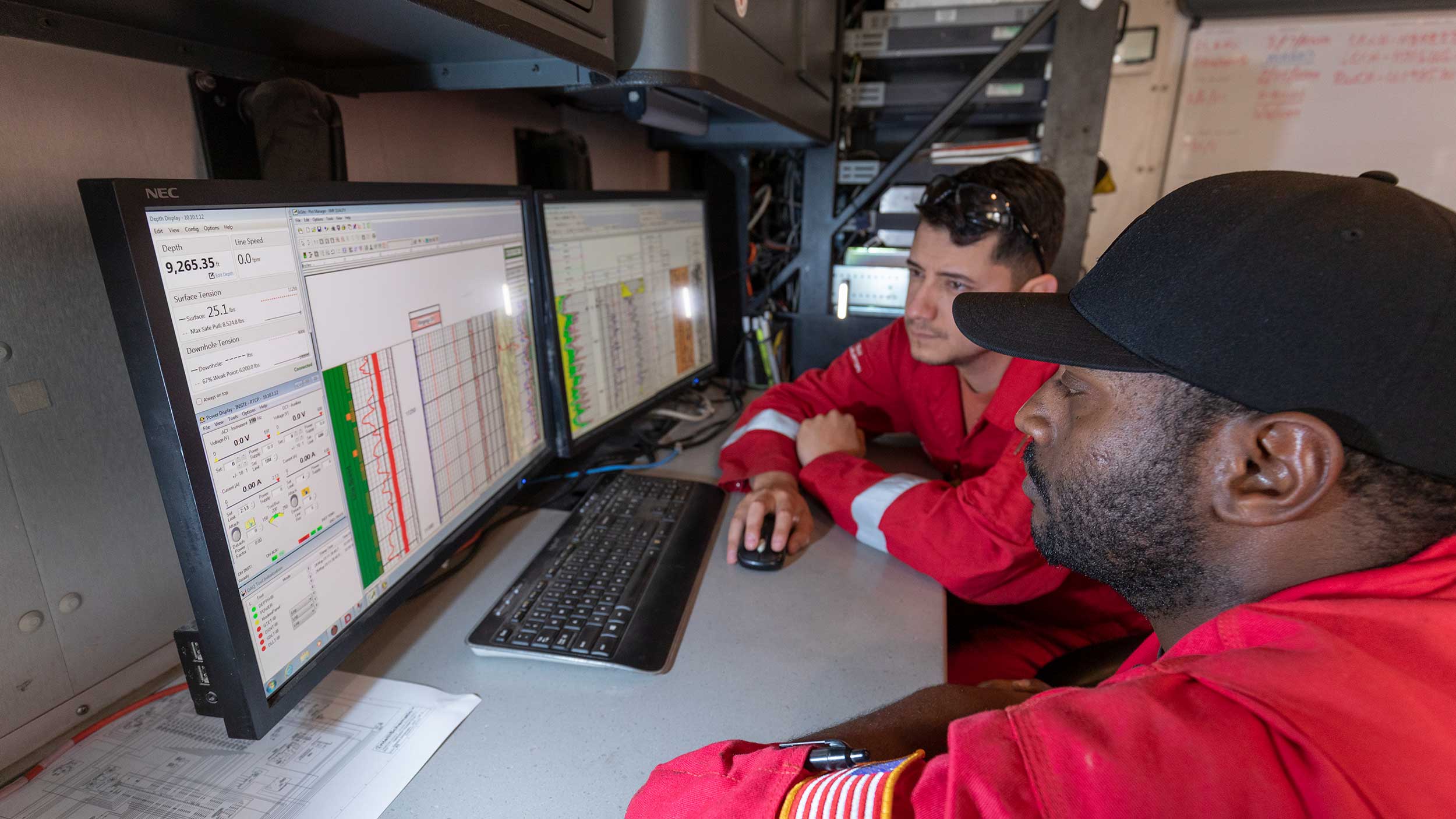
Real-time, high-resolution drilling data for efficient, safe, and precise well delivery
explore istar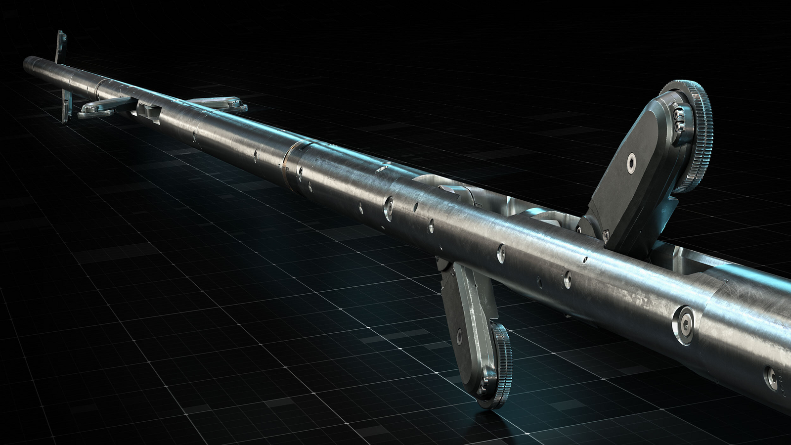
The most advanced wireline conveyance technology on the market for highly deviated or horizontal wells
explore cleartrac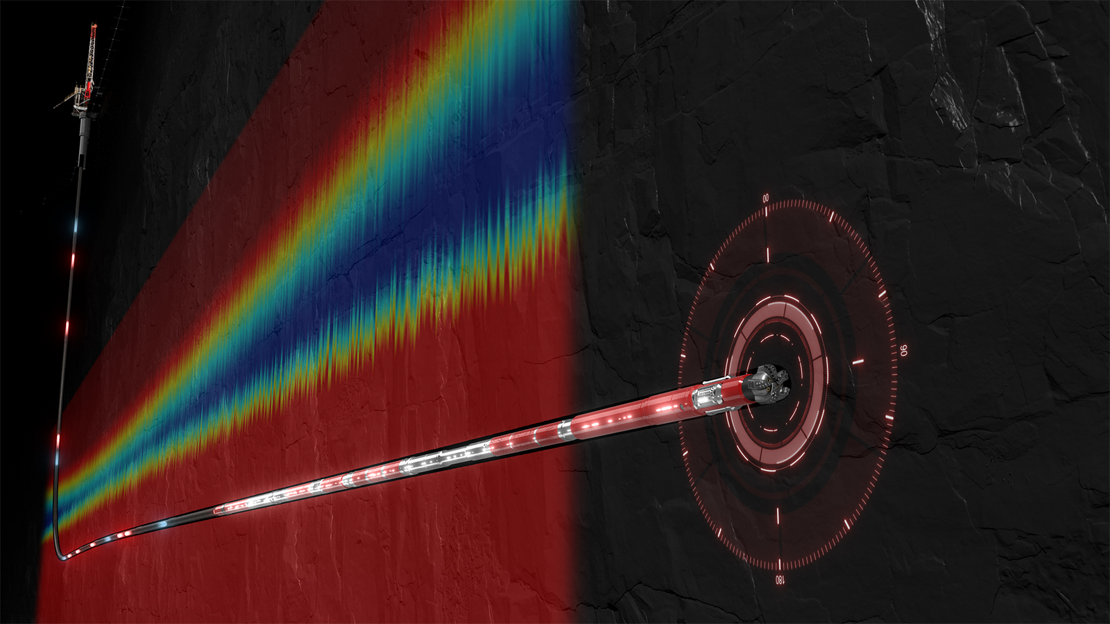
Stream high-resolution, real-time drilling and subsurface data at extended depths to ensure efficient well delivery
Explore PulseStar
Efficiently process seismic data with advanced algorithms, cloud-based architecture, and intuitive tools
explore seisspaceDecisionSpace® 365 is designed to help oil and gas operators improve their subsurface understanding and reduce exploration risks. It integrates seismic processing, geological characterization, and geophysical analysis to create detailed and dynamic earth models. This allows operators to manage large volumes of seismic data more efficiently, reducing uncertainty and optimizing exploration workflows.
The platform is compatible with existing systems and third-party applications, ensuring seamless integration. It supports scalable seismic attributes, petrophysics, and geomechanics, enabling operators to build accurate structural models. Additionally, it offers robust geological frameworks and data-driven models, providing deeper geological insights that help identify new opportunities and understand critical risks, ultimately leading to more informed decision-making.

Blog
Tools powered by AI, machine learning, adaptive algorithms, and digital rock analysis help tackle these subsurface exploration challenges. These technologies deliver sharper, faster insights that improve decision-making and help reduce risk. Operators can unlock more value from assets, improve recovery, and even support geothermal power generation and lithium extraction projects.
read blogworld oil article
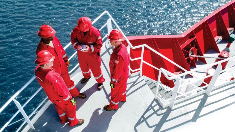
Deepwater and subsea formation evaluation in the Gulf of Mexico is crucial for U.S. energy production, with 97% of Outer Continental Shelf oil and gas sourced here. Halliburton’s advanced technologies, like the iCruise® Intelligent Rotary Steerable System and automated drilling software, enhance efficiency by providing real-time data and predictive modeling, optimizing drilling performance.
read article
New Zealand Case Study
Challenge: Placing horizontal infill wells in New Zealand’s mature fields is difficult due to thin formations, low resistivity contrast, and complex geology.
Solution: EarthStar® maps deep formations, enhancing boundary proximity knowledge and enabling precise well placement.
Result: Improved well placement accuracy and optimal gas production through real-time geosteering and early formation detection.
read case studywireline openhole logging
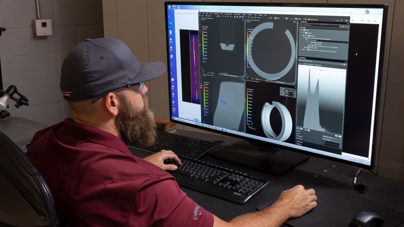
The Reservoir Xaminer™ service is Halliburton’s advanced formation testing and sampling solution. It efficiently characterizes dynamic reservoirs by testing both fluids and rocks, providing essential data for exploration, production, and injection. With advanced technology and real-time monitoring, it delivers high-quality, customized data even in the toughest conditions.
Explore service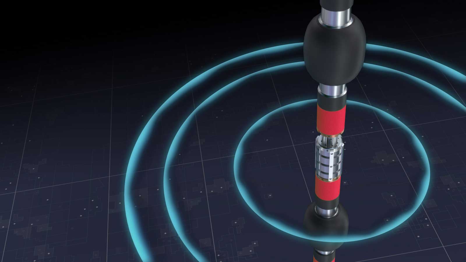
Halliburton formation evaluation services enhance reservoir understanding through our technology and subsurface characteristics for resource development.
Explore
Halliburton reservoir testing goes below the surface to show operators the most accurate details of the reservoir
Explore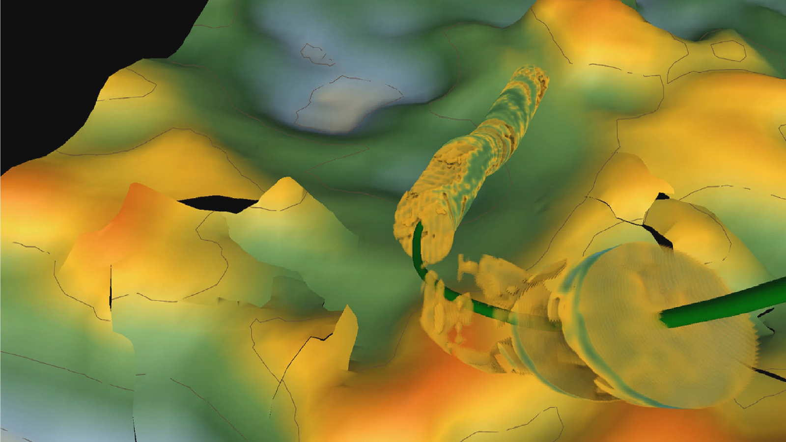
Screen basins, appraise plays, generate prospects, identify and prioritize well targets, and evaluate drilling results for advantaged hydrocarbons.
Explore