
SeisSpace® Seismic Processing Suite
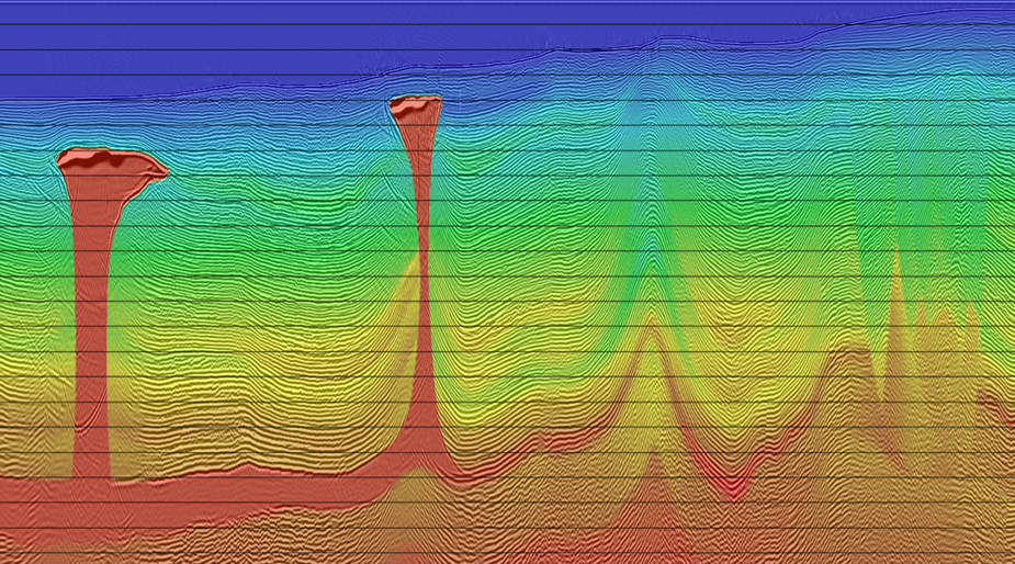
With intuitive analysis tools, state-of-the-art geophysical algorithms and an optimized parallel infrastructure, the Seismic Processing Suite helps teams get the most out of seismic data, increase productivity and reduce project cycle times
SeisSpace® Seismic Processing Suite
Enhance your business capabilities with a user-friendly interface and intuitive workflows for implementing proprietary geophysical algorithms, tools, processes, etc.
Cloud-based architecture seeks to enable fully secure, remote access to easily manage and oversee seismic processing workflows.
Seeks to maximize efficiency and minimize risk with a tightly knit integration between data, user, and workflows.
Collaborate with interpreters using DecisionSpace® 365 Geosciences Suite to streamline integrated workflows.

Derive greater value from your seismic data investment, increase productivity, and reduce project cycle times
Explore SeisSpace