PixStar™ high-resolution ultrasonic imaging service provides real-time data to improve wellbore stability
Download PDFMature Fields

Improve wellbore stability while drilling and optimize completion

Oil-Based Mud

Engineer a drilling solution that included:
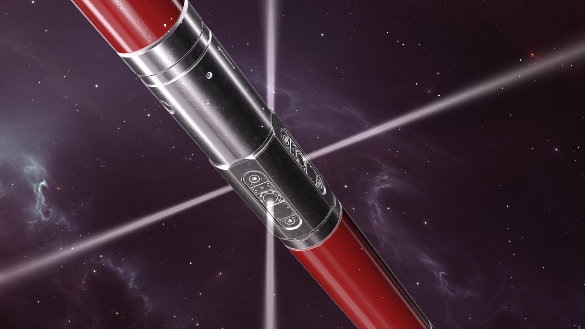
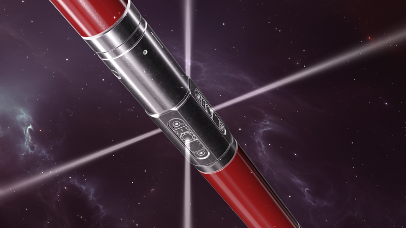
A 6 1⁄8-inch well was drilled in Texas in oil-based mud (OBM), and the PixStar™ high-resolution ultrasonic imaging service was used to assess borehole size and shape in real time across multiple lithologies, including chalk, shale, limestone, and sandstone. The service included a bottomhole assembly (BHA) with a 4¾-inch TerraForce™ positive displacement motor, a DGR™ dual gamma ray sensor, and an ADR™ azimuthal deep resistivity sensor. The PixStar service was used to improve wellbore stability while drilling and to optimize completion design.
Real-time borehole size and shape deliverables, including average hole size, radius image and 3D borehole shape plots, were transmitted while drilling, enabling real-time assessments of borehole quality. This proven ability to monitor borehole quality while drilling enables operators to make adjustments to parameters, such as increasing mud weights to avoid borehole breakouts, thus improving wellbore stability. Identification of minimum and maximum ellipse direction and associated validation of stress orientations adds input into regional geomechanical models.
The high-resolution radius and amplitude images, obtained while drilling with a 9.5-ppg OBM, identified zones of borehole enlargement across multiple formations. The 3D borehole plots and average caliper clearly highlighted where borehole enlargement corresponded to zones with increased clay content. The calculation of borehole size provides an accurate input into cement volume calculations, and the visualization of borehole quality enables optimum placement of completion equipment, such as packers.
High-resolution ultrasonic imaging service shows fractures and geological features in all mud types.