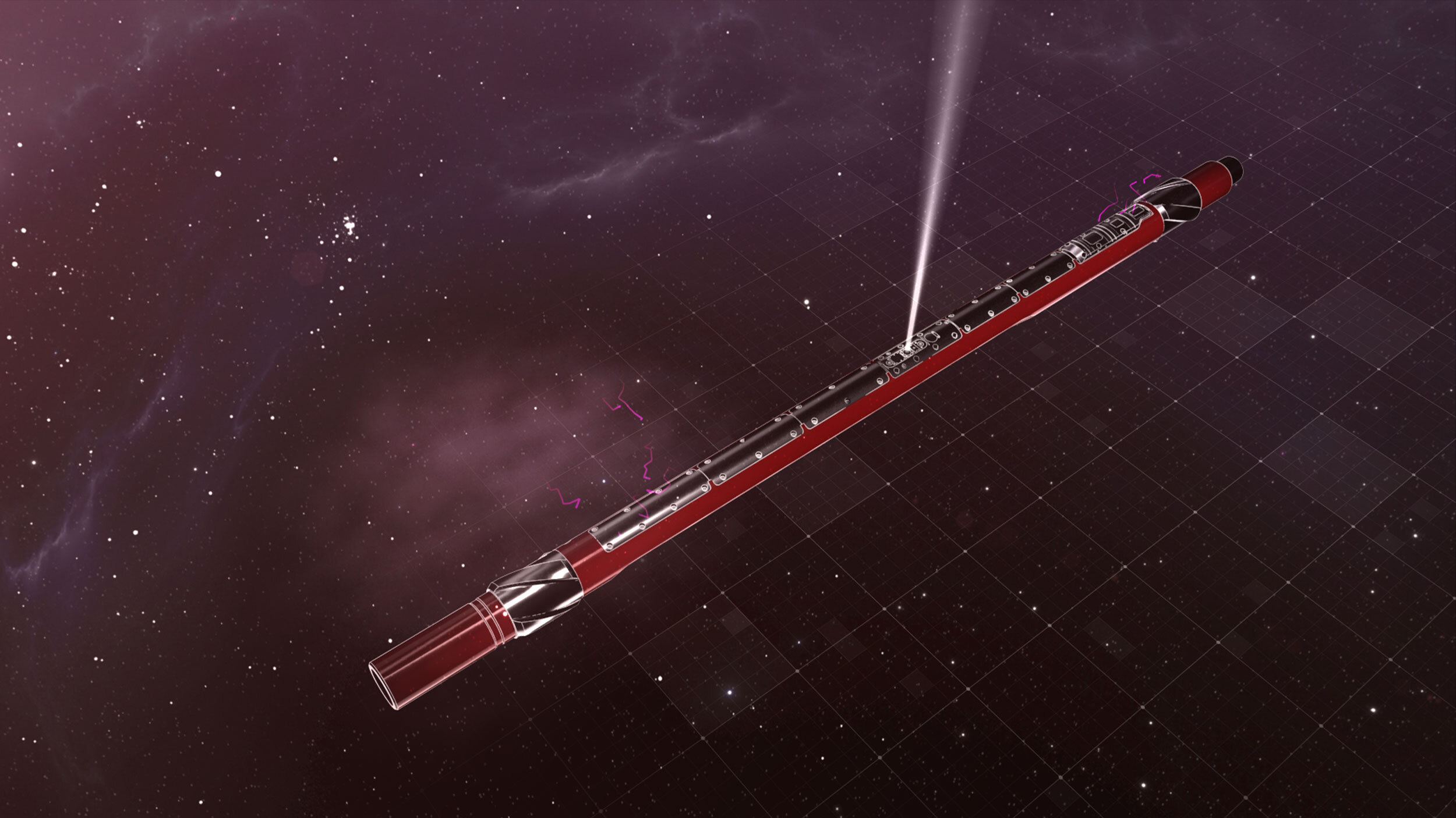
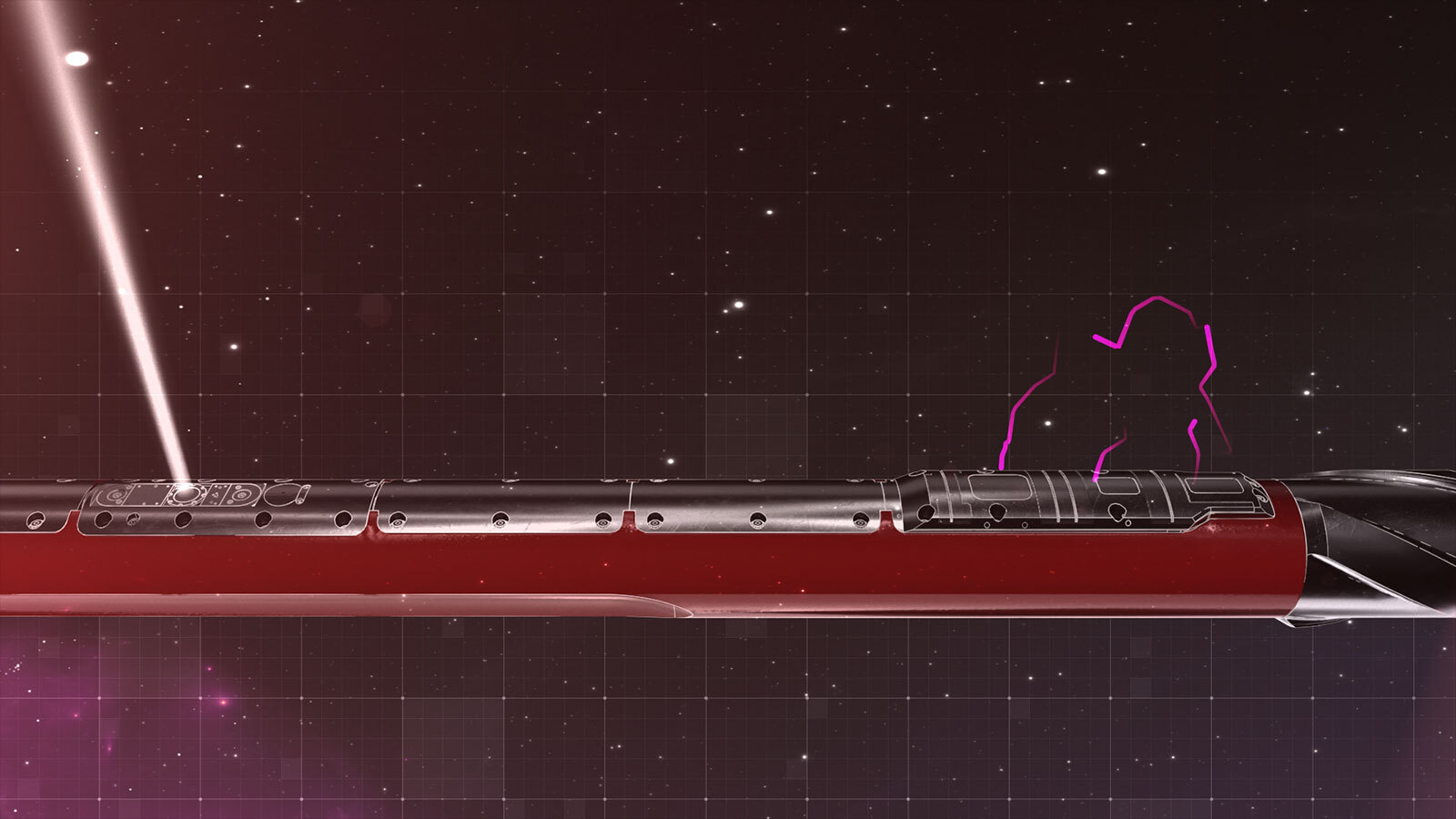
The LithoStar® service from Sperry Drilling makes wireline-quality measurements while drilling for accurate reserves calculations and petrophysical interpretations. Real-time density borehole images, in both oil-based and water-based mud systems, provide a detailed understanding of the geological structure.
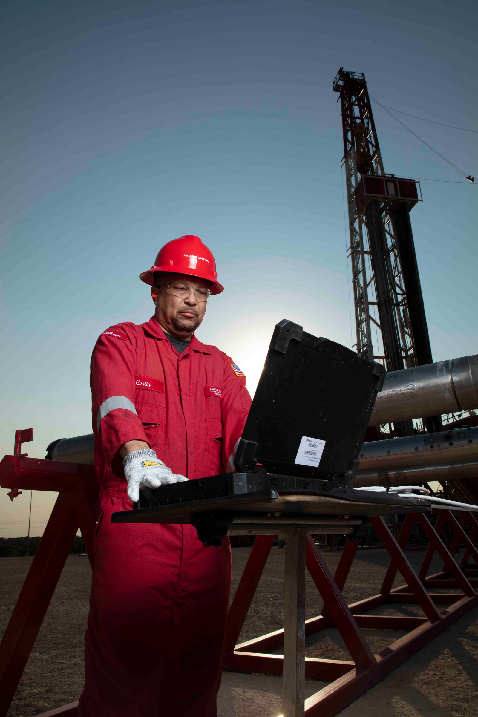
The LithoStar service integrates advanced sensor physics and digital processing to deliver highly accurate measurements and help improve reserves evaluation.
The advanced downhole processing algorithms used by the LithoStar service deliver high-accuracy and high-precision measurements while drilling – before significant borehole degradation or fluid invasion can occur. This gives the best picture of the true formation properties. With the borehole in its best condition, porosity determination is enhanced leading to improved reserves calculations.
Density and Pe borehole images provide reservoir lithology and structural dip regardless of borehole orientation. Real-time structural dip interpretation leads to better geosteering decisions to accurately place the well in the target zone. The image logs show the borehole shape, identify any instances of hole spiraling, helps asses stress-induced breakouts, and mitigates borehole stability issues.
Integrated density and thermal neutron porosity measurements detect and evaluate gas-bearing formations and determine lithology and porosity in structurally complex geological environments. With the LithoStar service, operators can improve real-time decision making and gain a clearer understanding of the petrophysical and geological characteristics of their reservoir.